Dr. Geoffrey McCafferty


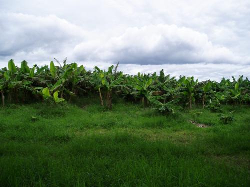
Santa Isabel is located in the community of Tolesmaida, in the Department of Rivas, on the shore of Lake Nicaragua. It covers an area of roughly 300 ha, which is currently planted in banana and papaya orchards, with light occupation particularly along the lake shore. Santa Isabel was first investigated by Gordon Willey and Albert Norweb in the late 1950s, and those discoveries were published by Paul Healy (1980). It was later surveyed by Karen Niemel (1993) as part of her regional survey along the shore of Lake Nicaragua from the Ochomogo River south to San Jorge. Niemel noted that Santa Isabel was the largest site in the survey area during the Sapoa and Ometepe periods (900-1520 CE), but see the Chronology section under Results.
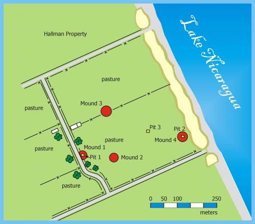
[map courtesy of Larry Steinbrenner]
When Project SIN began in 2000, the Santa Isabel site had been divided among multiple landowners, and was incorporated into the growing farming and fishing village of Tolesmaida. The area designated the 'site center' featured about 20 low mounds, ranging from 1 to 3 m in height. Most of these were under cultivation, with crops including banana, papaya, maize, manioc, and watermelon. There were several residences on the site. There had dirt floors and thatch or corrugated metal roofs, and lacked plumbing. Other homes closer to the lake shore showed more investment, and there is a school and now a Catholic church in the community.
Mound 6
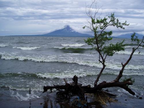
Lake Nicaragua and Ometepe Island